Geospatial intelligence
built for the land
Helping farmers, environmental professionals and land managers make better decisions since 2018
Who are AirborneLogic?
We are remote sensing and geospatial analytics experts. We translate detailed geospatial data into actionable insights to empower our clients across multiple industries.
More About UsPrecision Data Capture
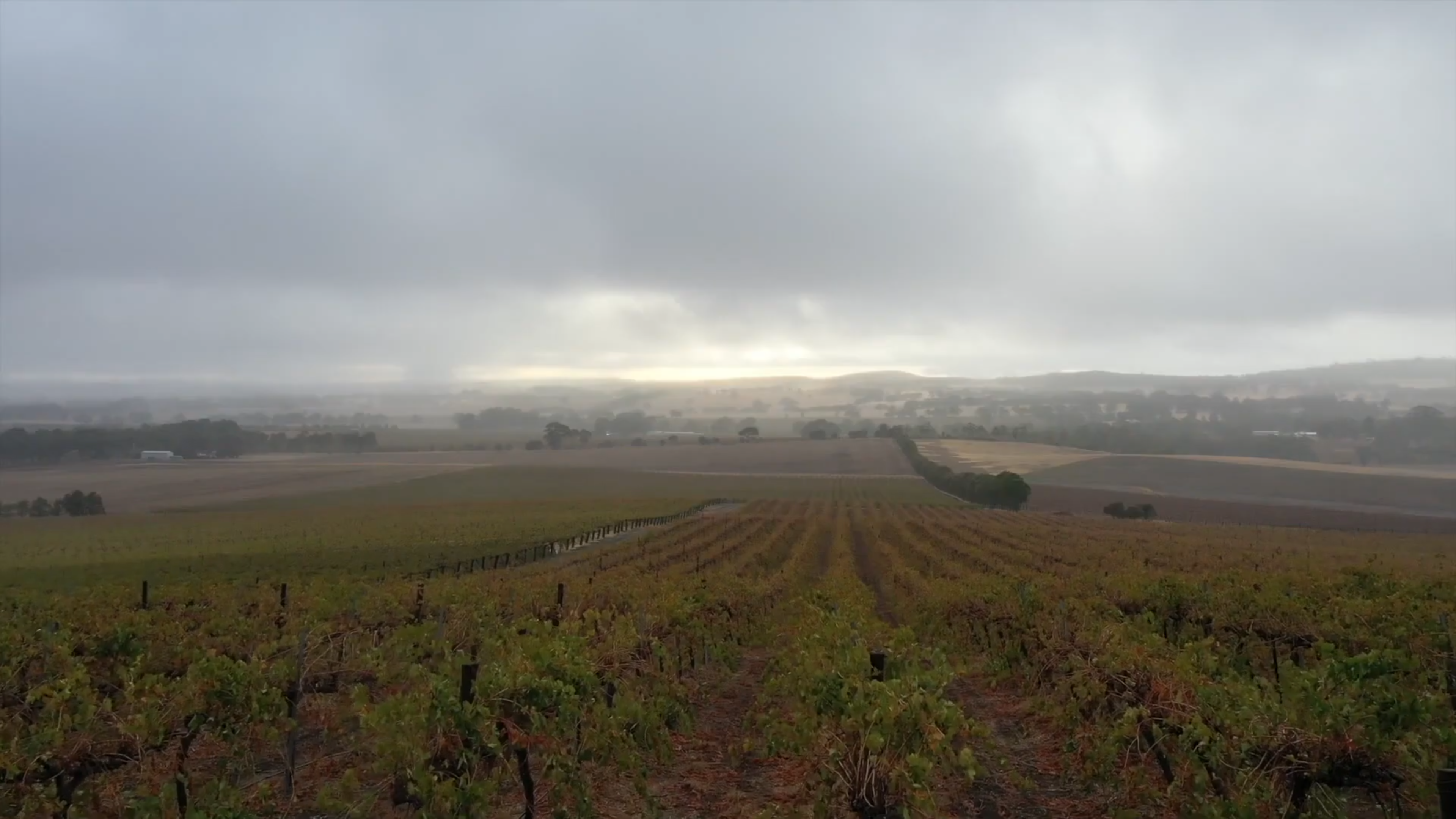
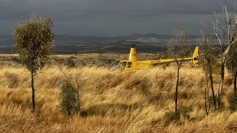
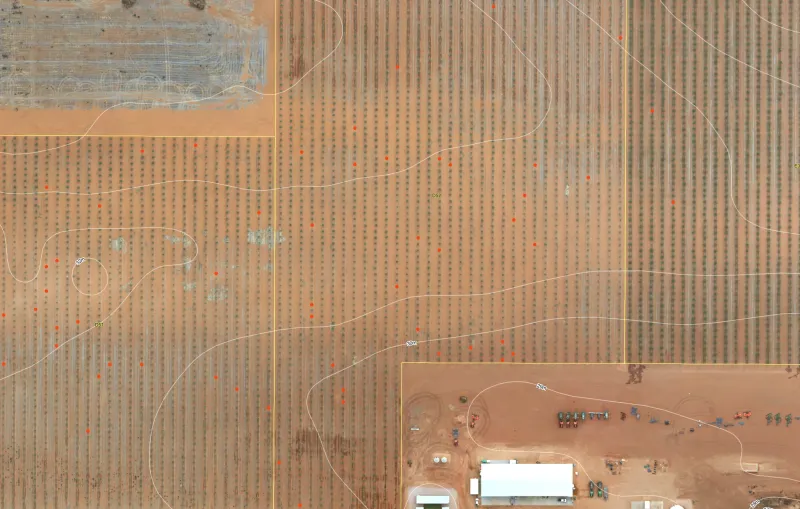
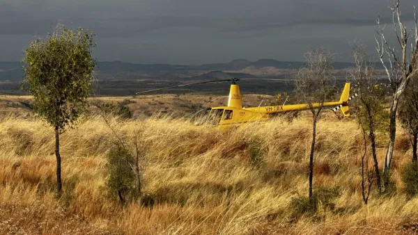
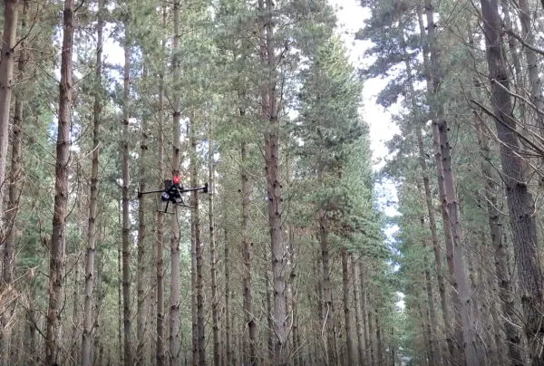
High-resolution drone and remote sensing surveys
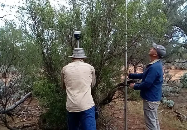
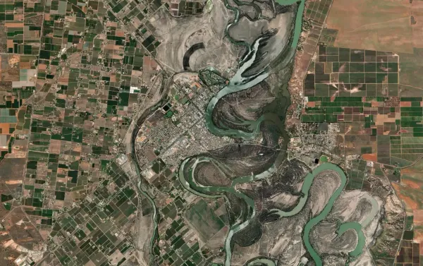
Environmental Monitoring
Carbon, biodiversity and land condition reporting
Actionable Insights
Geospatial analytics that drive better decisions
What We Do
Core Services
Discover how our specialized services can benefit your operations.
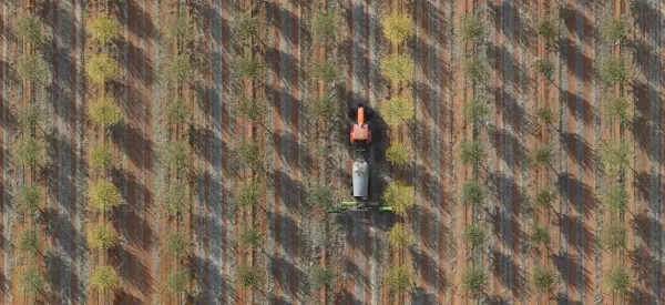
Carbon Farming & Natural Capital
Independent Natural Capital MRV services for carbon and biodiversity credit projects - with expertise in the data, science and mapping that underpin credit generation
Read More →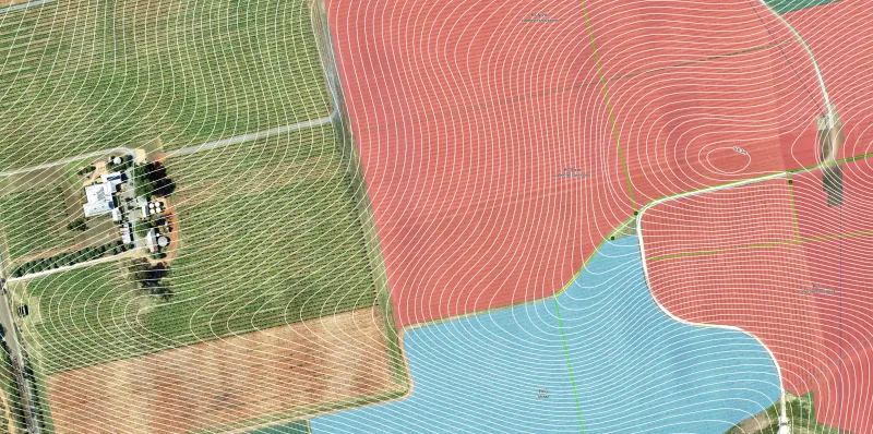
Mapping & GIS
End-to-end mapping and GIS services for organisations and projects that require geo-spatial information, systemised data management and verified reporting
Read More →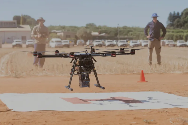
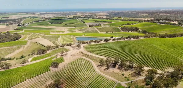
Our Sectors
Industries We Serve
Explore the diverse industries leveraging our expertise.

News & Insights
Latest Insights
Stay updated with our latest research, news, and case studies.

Digital Tools
Portals
Access insights and tools via our Grower and NatureLogic+ portals.
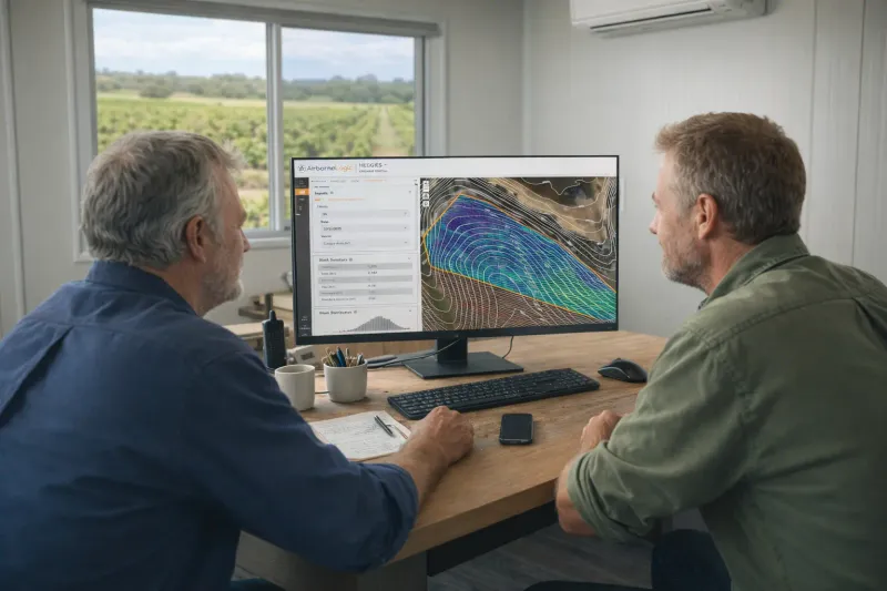
Grower Portal
Purpose-built for agriculture clients, delivering plant-level Vigormetrics, raster RGB layers from drone flights, thermal imagery for leak detection, and rich block/row/plant summary statistics.
- Plant-level Vigormetrics
- Raster RGB layers from drone missions
- Thermal imagery to detect irrigation leaks
- Block, row and plant summary stats
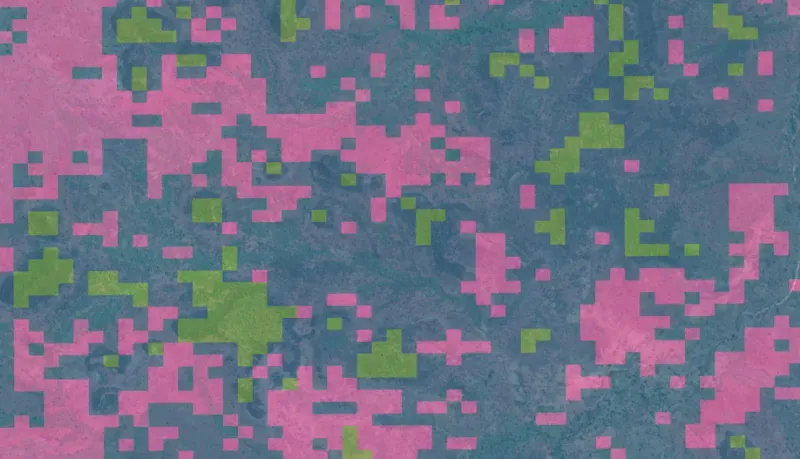
NatureLogic+ Portal
Coming soonIn development: a portal for Natural Capital projects to explore stratified project areas, track progress, and view multiple MRV layers and metrics.
- Stratified project views
- Progress tracking across project phases
- Layered MRV insights (coming soon)
Ready to talk?
Let's discuss how AirborneLogic can assist with our geospatial expertise.