Industries We Serve
We apply our expertise across a diverse range of industries, providing customised geospatial solutions that address unique challenges and drive success.
Carbon Farming & Nature Repair Services
Providing a comprehensive suite of independent Measurement, Reporting and Verification services and products to ensure projects trust and integrity
- Remote Sensing & Field Data Integration
- Carbon Baseline & Sequestration Modeling
- MRV Reporting & Compliance
- Digital Dashboards & Mapping
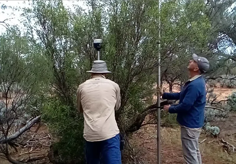
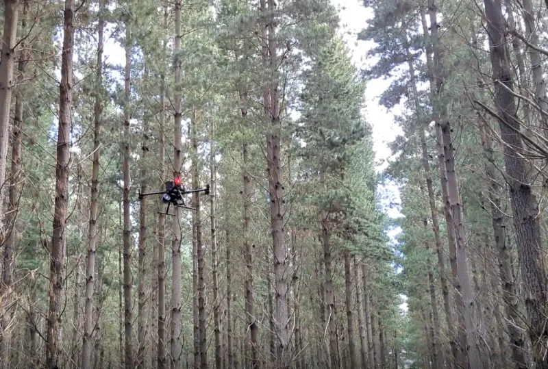
Environmental Monitoring
Detailed, spatially accurate mapping and classification of habitat types, biodiversity and natural assets for benchmarking, environmental planning and detecting change
- Land Cover & Change Detection
- Vegetation & Forest Mapping
- Habitat Classification & Monitoring
- Biodiversity Assessment
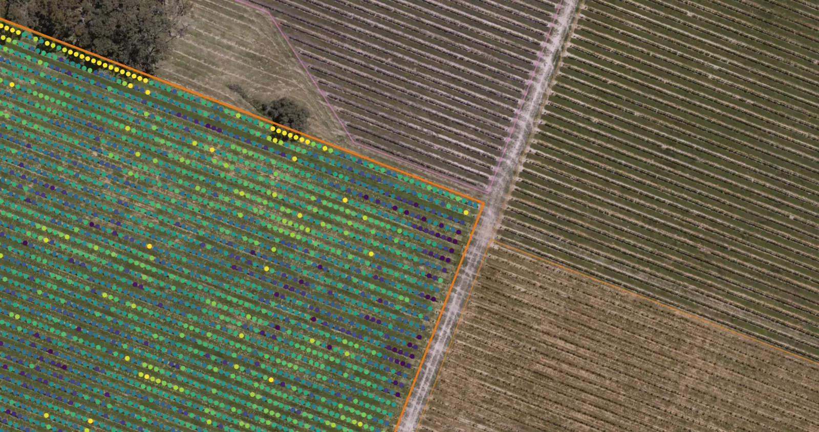
Horticulture
Precision based farm mapping systems with advanced analytics and statistically backed reporting for optimised planning, resource allocation and decision making
- Precision Farm Mapping
- High-Resolution Drone Monitoring
- Vigormetrics®
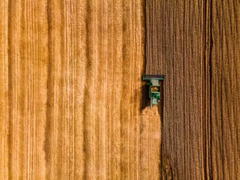
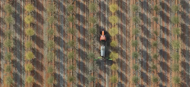
Agriculture
Remote sensing, crop and environmental analysis, and GIS based reporting for the research and development of trials, methods and new products
- Farm & Crop Mapping
- Trial Monitoring & Analysis
- Product Research & Development
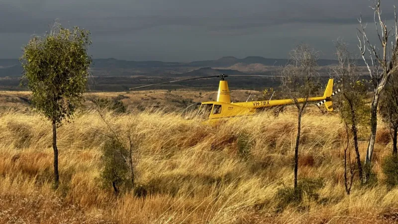
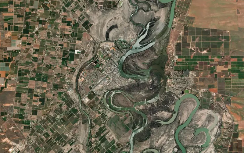
Primary Industry
Geospatial products and analytics for forestry, mining, development and infrastructure projects including LiDAR and photogrammetry for planning, inspections and compliance
- LiDAR & Photogrammetry
- Planning & Design Support
- Inspections & Monitoring
- Spatial Analytics & Reporting
Let's Work Together
Tell us about your project and we'll show you how our geospatial expertise can make a difference.