Geospatial Data Capture & Analysis
AirborneLogic captures and analyses high-resolution geospatial data using drones and remote sensing, delivering actionable spatial intelligence for complex projects across Australia.
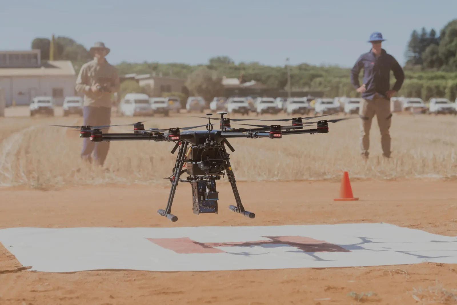
High accuracy sensors, custom workflows and exacting QA/QC for the supply of high-fidelity, best in class remote sensing data and analytics
AirborneLogic delivers high-accuracy geospatial data capture and analysis for industries where precision, safety, and defensibility matter. From forestry and mining to energy, transport, and infrastructure development, we help teams make faster, smarter decisions using advanced aerial, ground-based and satellite technologies.

What We Offer
- Data Capture & Surveying: LiDAR (drone, fixed-wing, mobile); High-definition RGB, thermal, multispectral & hyperspectral; Satellite imagery integration; RTK/GNSS positioning for survey-grade accuracy
- Processing & Analysis: Terrain modelling (DSM/DTM), contours, cut/fill; Vegetation and ecological intelligence; Corridor mapping (power, road, rail); ML-powered feature extraction and change detection
- Industry-Specific Solutions:
- Forestry & Agriculture (tree metrics, drainage & irrigation planning, carbon baselines);
- Mining & Construction (stockpile volumes, pit wall models, QA snapshots);
- Energy & Transport (clearance analytics, slope risk, encroachment forecasting);
- Environmental & Compliance (flood overlays, habitat mapping, street tree analysis, offsets & restoration tracking)
- Deliverables: GIS-ready layers (GeoTIFF, LAS/LAZ), CAD files (DXF/DWG); Interactive dashboards and web viewers; Regulator-aligned reports and compliance packs
Why AirborneLogic?
- Survey-Grade Accuracy: Quality field data collection hardware and workflows.
- Automation & Speed: Machine learining driven analytics for faster turnaround
- End-to-End Delivery: From flight operations to board-level reporting
- Standards-Aligned: Tailored outputs match industry specs and regulatory requirements
Flexible, Scalable, Defensible
Whether you need raw imagery or fully processed end products, we tailor our workflows to your project scale, budget, and compliance needs. Our systems integrate seamlessly with existing GIS, CAD, and asset platforms—creating a single source of truth for your team.
Want to know more?
High accuracy sensors, custom workflows and exacting QA/QC for the supply of high-fidelity, best in class remote sensing data and analytics.