Precision based farm mapping systems with advanced analytics and statistically backed reporting for optimised planning, resource allocation and decision making
Our horticultural solutions combine high-resolution drone mapping and remote sensing with advanced analytics and statistically backed GIS reporting to help growers optimize planning, resource allocation, and decision-making. From crop mapping and plant counts for vines, tree crops and pivots to crop health analysis, we deliver actionable insights for improved productivity and sustainability, packaged in GIS portals and tools that cater for all company mapping, data collection and decision-making needs.

Our Capabilities
1. Precision-Based Farm Mapping
- Centimetre level accuracy for boundaries, rows, plant positions and contours
- Tree-level data collection apps for ground crews
- Powerful, single platform products for maps and integration of technology
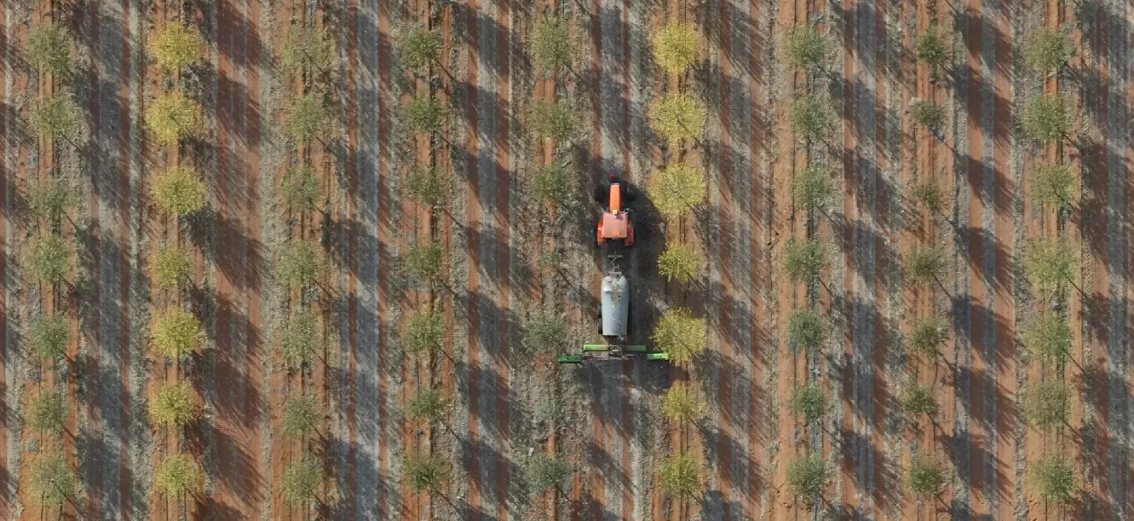
2. High-Resolution Drone Monitoring
- Ultra-detailed aerial imagery for plant and canopy analysis
- Detection of stress indicators and variability
- Monitoring for irrigation and seasonal changes
3. Vigormetrics® - Advanced Analytics & Reporting
- Statistically validated crop performance metrics
- Change detection and resource optimization
- Custom dashboards for real-time decision support
Why Choose Us?
- Expertise in horticultural crops including tree crops, vineyards and pivots
- Customized platform and analytics specifically tailored to horticultural systems
- Ongoing support Australia wide