Farm Mapping & Monitoring Systems
AirborneLogic delivers precision farm mapping and crop monitoring using drone sensors and geospatial tools, giving growers the insights to act faster and farm smarter.
Custom built GIS mapping and monitoring systems for powerful decision-making, real-time management, sharing information and integrating technology
AirborneLogic delivers high-resolution farm mapping and monitoring systems that help growers, agronomists, and land managers make faster, better-informed decisions. Our spatial data solutions are designed to improve productivity, reduce risk, and support long-term sustainability across horticulture and broadacre farming.

What We Offer
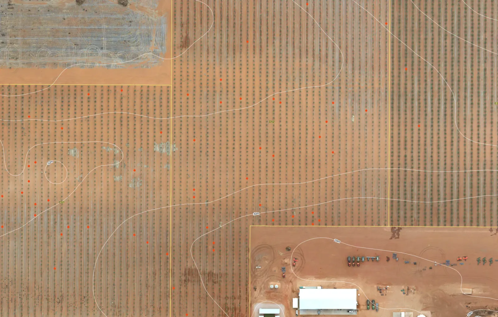
- Farm Mapping & GIS: High-definition RGB, LiDAR, multispectral and hyperspectral imagery; RTK-accurate mapping (2–4 cm precision); Asset and crop mapping from 1 to 500,000 Ha; Terrain models for erosion, drainage, and frost risk
- Remote Sensing & Crop Monitoring: Aerial and ground-based surveys; Tree/vine counts, canopy volume, height, and health; Irrigation leak detection via thermal sensors; Disease and variability scouting
- Data Analysis & Reporting: AI/ML-powered analytics; ArcGIS-based ‘Grower Portal’ with plant-level metrics; Statistically validated change detection; Decision making and status reports
- Custom Software & Mobile Integration: ArcGIS mapping tailored for horticulture; Mobile-enabled scouting and field data collection; Consolidated platform for collecting irrigation, infrastructure, and crop data
- Support for owner operator models: Drone hardware advice; ROI analysis; Support for systems establishment; Managed services for farmers who want to survey crops and assets on-demand
Vigormetrics®: Plant-Based Statistics for Better Farming
Our proprietary system, Vigormetrics®, transforms raw spatial data into actionable insights. It enables:
- Transparent measurement of rows, trees, and canopy gaps
- Visual and numerical reporting for precision management
- Variable rate prescriptions for fertilisers, sprays, and compost
Why AirborneLogic?
- 30+ Years in Agriculture: Deep industry knowledge and trusted relationships
- Integrated Solutions: GIS, remote sensing, and ground truthing in one team
- Built for ROI: Designed to deliver value, reduce risk, and support decision-making
- Scalable & Customisable: From small farms to government-scale projects
Partner with us for improved farm intelligence systems
Discover the many ways in which precision mapping and monitoring systems can improve your yields and farm management.